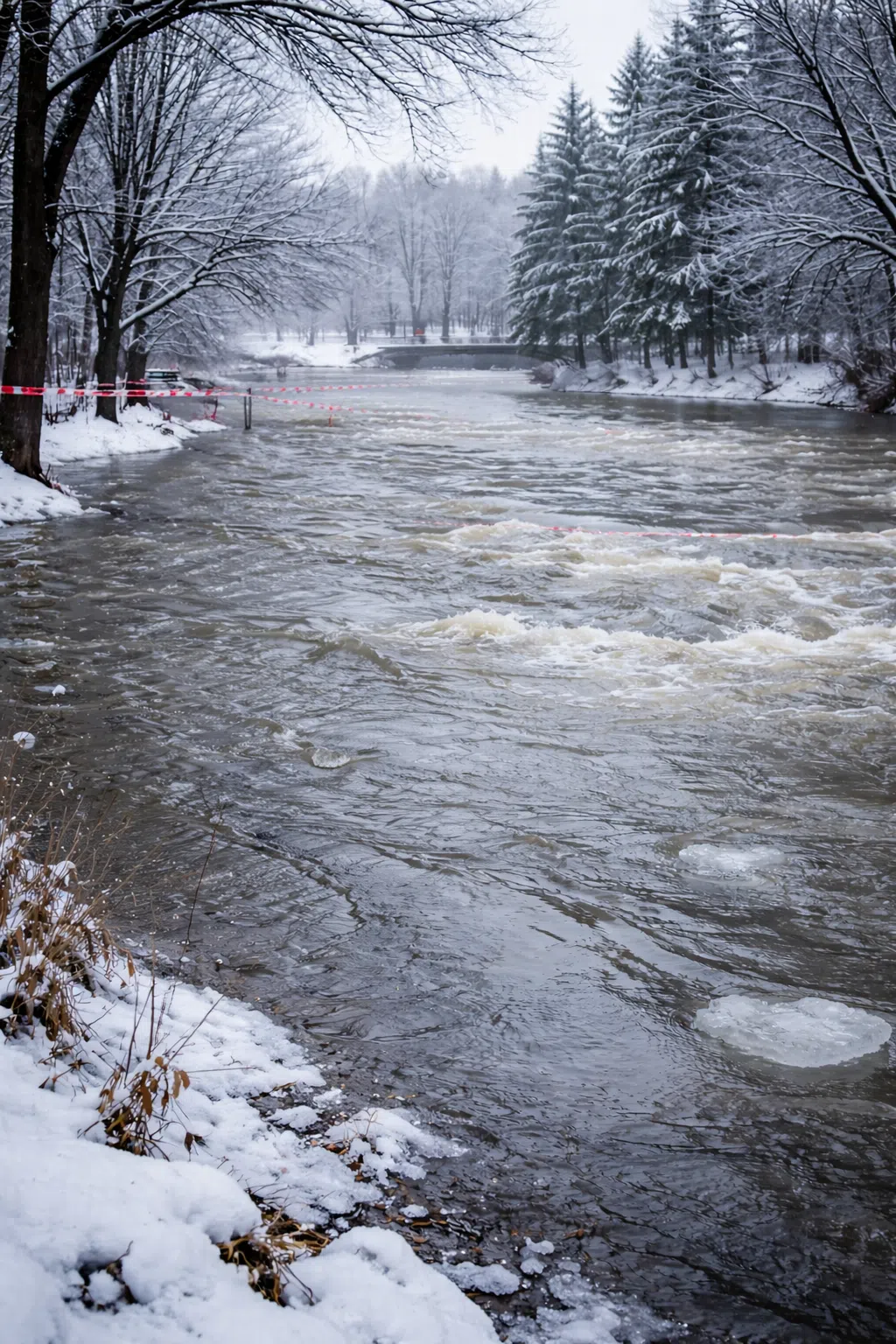
Residents across the Peterborough area are being warned to exercise caution near local waterways as rising temperatures, rainfall, and snowmelt combine to increase water levels and flows.
Lower Trent Conservation has issued a Water Safety Statement for creeks and streams from Grafton to Quinte West and north from Lake Ontario to Rice Lake and east to Centre Hastings. While flooding is not expected, officials say strong currents, rising water levels, and unsafe banks could pose hazards for recreational users and waterfront property owners.
Meanwhile, Otonabee Conservation has issued a Flood Watch for local watercourses — excluding the Trent–Severn Waterway — warning that warm temperatures, rain, and an above-average snowpack could lead to rapidly rising water levels and flows. Measures have been taken to lower water levels in the Kawartha Lakes, Otonabee River, and Rice Lake in preparation for runoff, and flooding along the Trent–Severn Waterway is not expected.
Officials from both agencies are urging residents to stay away from shorelines, avoid ice-covered areas, and supervise children and pets around waterways. Strong currents and cold water temperatures make conditions especially hazardous around dams, culverts, and bridges.
Lower Trent Conservation says the water safety statement is in effect until March 13 at 4 pm, while Otonabee Conservation flood watch will expire on March 12 at 3 p.m., unless up-dated earlier.
Water levels can be monitored on-line at:
1) Trent-Severn Waterway’s Water Management InfoNet
2) Water Survey of Canada Real-Time Hydrometric Data
3) Otonabee Conservation website
")